Cabra (Córdoba), 21 (Europa Press)
The Ministry of Sustainability and the Environment has designed four thematic itineraries to explore the subbetic mountains of the world, under the title «Water Geopark.» This initiative offers a route with 22 springs and springs along four routes that are part of the landscape, history, and culture.
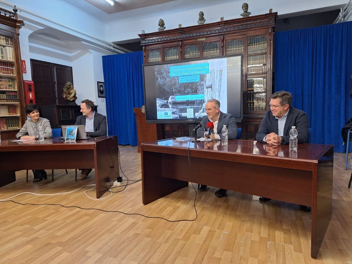
The territorial delegate for sustainability and the environment in Córdoba, Rafael Martínez, presented this comprehensive action on CABRA on Friday, which is complemented by the book of Sources and Springs in Sierrasul Subbetic, and attended by the Director General of Forest and Biodiversity Policies, Juan Ramón Pérez. The law met at the Aguilar Institute and experts in Eslava, authorities, and the general public interested in the natural heritage of the Subbética, as detailed by the Ministry in a statement.
During his speech, Martínez emphasized that «this book is a testimony to the incalculable value of water in our territory, as a natural resource and as a key element in shaping the landscape and the lives of the communities that have inhabited these mountains throughout history. And when I say history, I don’t just mean human events.
This action is part of the project for the value of the gears in Sierrasul Subbetic, promoted by the Ministry in December 2020 to bring the Geopark figure to both local citizens and visitors. With a total budget of 122,000 euros, co-financed with Feader funds and executed by the Environmental and Water Agency in Andalusia, the project focused on the conservation of geodiversity, the recovery of related water, and the improvement of the interpretation and dissemination of these spaces.
Through these water routes, visitors will be able to discover the diversity of springs and springs in seven municipalities in the Natural Park, including both their natural value and their historical function and points of settlement, transit, or agricultural development.
Restoration and signage
Along with the restoration of emblematic water enclaves, a homogenous and interpretive signage was installed at the 22 springs and natural springs that make up the itineraries. Each of these signs provides educational information on hydrogeological, historical, and unique aspects and includes a QR code that allows access to extended content in the «Knowing the Sources» project.
The intervention allowed for improvements to the enclaves, such as the default source and the Zuheros Bush, the Espino source in Luque, or the discharge of the Bernabé source in Carcabuey. These works are complemented by those carried out by the territorial delegation in enclaves such as Jarcas Spring or the Fountain of Fragrances, the Batteries Fountain in Doña Mencía, or Fuyfría in Zuheros, as part of the project to improve animal and green infrastructure in rural areas.
The territorial delegate highlighted the role of geoparks as active spaces in conservation, sustainability, and environmental education. «Geoparks, such as the Subbetic Sierras Geopark World UNESCO, are spaces where active work is done for the conservation of geodiversity and geological heritage, while promoting sustainable use of their resources to favor local economic development,» he said.
A guidebook to learn about groundwater
The publication of «Sources and Springs of the Subbetic Mountains» collects the work done within the project and is available to consult and download on the Geopark site. Its chapters address aspects such as the hydrogeology of the territory, the role of groundwater, and the four itineraries are detailed, center, east, and southwest.
The Director General of Forest Policy and Biodiversity, Juan Ramón Pérez Valenzuela, emphasized during his speech that «the resurgence of water after the recent rains invites us to reflect on the importance of assessing and protecting this unique geological wealth. Each drop of these springs is a reminder of our nature and the need for the nature of nature of nature. Water for future generations.
In this context, he added that «groundwater, although it represents only 1% of the total water on the planet, is of extraordinary importance to humans, as we use it for our support and development.» The general manager appreciated this guide as a result of a commitment to the preservation and dissemination of this natural heritage.
Recognition of scientific and technical works
During the event, the activity of researchers and experts involved in this project was recognized, including Felipe González Barrionuevo, a geologist and author of the book during his tenure as a technical advisor to Geopark and currently a professor at the University of Huelva (UHU); Manuel López Chicano, a hydrogeologist at the University of Granada (UGR) and an expert in the Subbetic aquifers; and Luis Sánchez Díaz, coordinator of the «Know your sources» project.
Both the delegate and the general manager agreed to highlight the role of these sources and springs as integral elements of the landscape, rural development, and geological knowledge. «These unique points have been and continue to be spaces in the lives of vertebrates, as population centers, road networks, and farms and livestock farms have sprung up and grown around them,» Pérez Valenzuela said.
Geopark Water is a tool to promote knowledge and conservation of water as a resource. The guide is available in digital version through the following link: